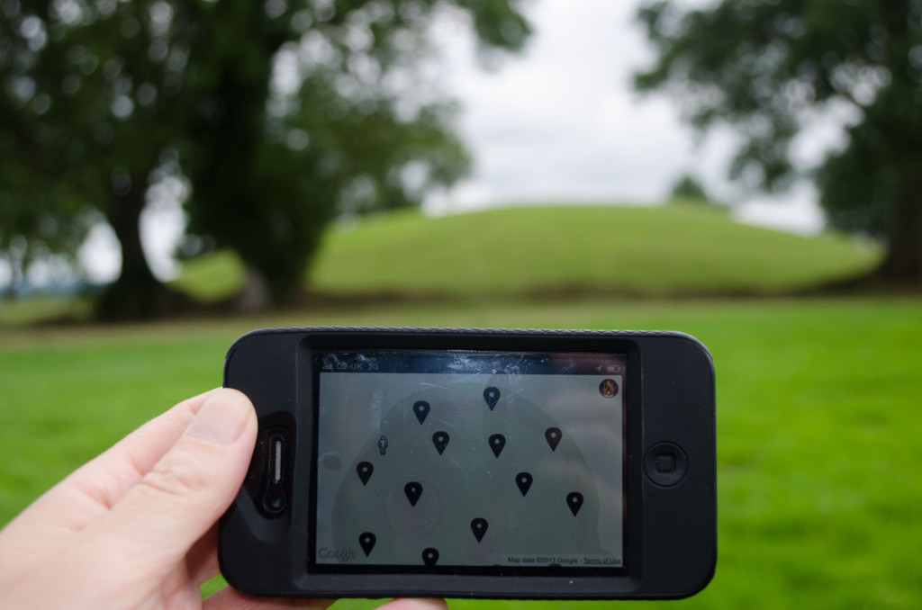
Testing the GPS on the iPhone at Navan Fort
I spent the second half of the brainstorming day testing the accessibility and GPS / 3G signals of the proposed routes for the Navan Fort Heritage apps. I was delighted to discover that the GPS and 3G worked well across the Navan Fort site. I’ve mapped and photographed a possible journey around the site. This will enable us to better design the route of both heritage apps.
View Navan Fort Photographs in a larger map
I found that my research into history of Navan Fort helped me to recognise and understand the landscape better which made for a more rewarding visit. That sense of enjoyment which stems from a recognition and understanding of our surroundings is a key aim for the both Navan Fort apps.